Ice-out dates
Explore historical dates marking the seasonal clearing of lake ice.
View ice-out dates →
A reference to the state’s largest lakes, their communities and counties, and the practical distinctions among lakes, ponds, and Great Ponds.
Maine’s lakes range from broad, deep basins to linked reservoirs and waters shared across state or international boundaries. The table below presents the locations and reported areas of twenty of the state’s largest lakes.
Historical ice-out dates provide one way to observe long-term changes in seasonal conditions. For an expanded comparison, see the reference to Maine’s sixty largest lakes.

Areas are shown in acres and square miles. The town column identifies a community, plantation, or surveyed township associated with each water body.
| Name | Town or township | County | Acres | Sq. mi. |
|---|---|---|---|---|
| Moosehead | Greenville | Piscataquis | 74,890 | 117.02 |
| Sebago | Sebago | Cumberland | 28,771 | 44.95 |
| Chesuncook | T5 R12 WELS | Piscataquis | 23,070 | 36.05 |
| Flagstaff | Flagstaff Township | Somerset | 20,300 | 31.72 |
| Pemadumcook | T1 R10 WELS | Penobscot | 18,300 | 28.59 |
| Spednic | Vanceboro | Washington | 17,219 | 26.90 |
| Mooselookmeguntic | Richardson Township | Franklin | 14,101 | 25.47 |
| Grand Lake (East) | Forest City Township | Aroostook | 16,070 | 25.11 |
| Grand Lake (West) | T5 ND BPP | Washington | 14,340 | 22.41 |
| Chamberlain | T7 R12 WELS | Piscataquis | 11,084 | 17.32 |
| Big Lake* | Grand Lake Stream | Washington | 10,305 | 16.10 |
| Brassua | Rockwood Strip East | Somerset | 8,979 | 14.03 |
| Millinocket | T1 R8 WELS | Penobscot | 8,960 | 14.00 |
| Eagle Lake (Big) | Eagle Lake | Piscataquis | 8,288 | 12.95 |
| Great Pond | Belgrade | Kennebec | 8,239 | 12.87 |
| Square Lake | T16 R5 WELS | Aroostook | 8,150 | 12.73 |
| Graham | Mariaville | Hancock | 7,865 | 12.29 |
| Umbagog | Magalloway Plantation | Oxford | 7,850 | 12.27 |
| Schoodic | Lake View Plantation | Piscataquis | 7,168 | 11.20 |
| Richardson Lakes | Richardsontown | Oxford | 7,100 | 11.09 |
* See Indian Township, which shares Big Lake with Grand Lake Stream. Figures reproduce the reference values associated with this collection and may differ where water bodies cross boundaries or measurement conventions vary.
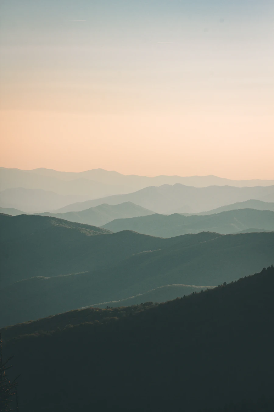
Large inland waters take different forms across Maine, from forest-lined basins to lakes viewed from the state’s high country.


No single everyday naming rule creates a clear line between a lake and a pond. Maine water bodies may have historic or alternate names, and those names do not always match technical characteristics.
Surface area and depth offer useful ecological clues, while Maine law supplies a separate legal category: lakes and ponds larger than ten acres are defined as Great Ponds.
Follow seasonal records, expanded data, and place entries for more context about Maine’s inland waters.
Quick answers about the figures, terminology, and geographic labels used on this page.
Moosehead is listed first at 74,890 acres, or 117.02 square miles.
Large parts of inland Maine are organized as surveyed townships rather than incorporated municipalities. Codes such as T5 R12 WELS identify those areas.
Depth, light penetration, and surface area can help distinguish them, but naming is inconsistent and no universal everyday dividing line exists.
In Maine law, lakes and ponds larger than ten acres fall within the Great Pond classification.
They record when winter ice clears from a water body. Viewed over long periods, these dates can help readers examine changes in seasonal conditions.
The sixty largest lakes reference extends the comparison beyond the twenty entries presented here.