An independent guide to Maine’s places, past, and presentinfo@maineanencyclopedia.com-html.com
Mainean
Encyclopedia
River winding through a forested Maine landscape at sunrise
Androscoggin County community

Livermore Falls

A river town shaped by waterpower, paper manufacturing, transportation routes, and a distinct collection of commercial and residential architecture.

Town overview

Livermore Falls lies east of the Androscoggin River, where the falls helped define settlement, industry, and the community’s identity.

Pronounced “LIV-ehr-more FALLZ,” the town was incorporated on March 1, 1844, as East Livermore. The territory had previously formed the northeastern part of Livermore. In 1930, the town adopted the name Livermore Falls.

The community developed around a natural fall in the river. Gristmills and sawmills were followed by wood-turning, leather-board, pulp, and paper operations. These industries connected the town’s civic growth to the Androscoggin’s waterpower.

Livermore Falls is north of the Lewiston–Auburn area and is served by Maine Routes 4, 17, 106, and 133. Pikes Corner, at Routes 106 and 133, is part of the East Livermore area.
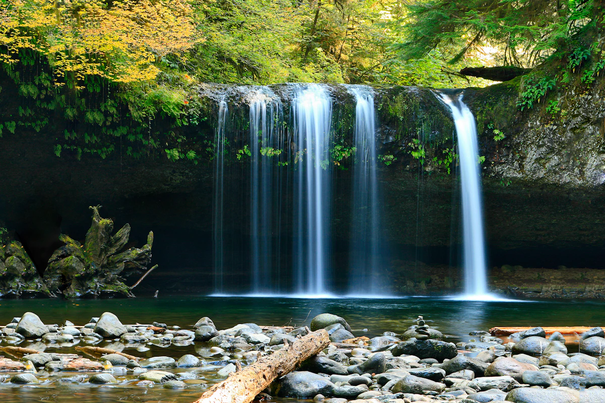
Fast-moving river passing through wooded terrain
River and industry

Waterpower built the industrial center.

An 1886 gazetteer described a fourteen-foot natural fall supporting grist, saw, wood-turning, leather-board, and paper-fiber operations. The locality was also recorded under the name Rokomeko, interpreted in that source as “great corn land.”

By the early twentieth century, smaller operations had yielded to large-scale pulp and paper manufacturing. The Chisholm, or Otis, mill stood in neighboring Jay, close to the Livermore Falls line, and influenced both communities.

Explore Maine forest products →
Historical reference

Population and geography

These figures preserve the historical data supplied with this entry. Legislative districts can change after reapportionment, so the older district values are not presented as current assignments.

Recorded population, 1970–2010
YearPopulation
19703,450
19803,572
19903,455
20003,227
20103,187

A changing mill community

In 1886, the town’s recorded population was 1,082, and seven schoolhouses served the community. The Paper Makers Union No. 11 formed in 1899, reflecting the growing importance of industrial employment.

For many years, Livermore Falls prospered as a paper-mill town. Later industrial change made employment less certain, while the street pattern and housing stock retained visible links to earlier periods of expansion.

Wood-products work has also remained part of the local industrial landscape, including logging and pallet manufacturing along outer Park Street.

Total area includes land and water. Historical population figures should be read in the context of their census year.

Key moments

A concise town timeline

Four dates connect the community’s municipal identity, industrial organization, and surviving architecture.

East Livermore incorporated

The new town was separated from territory on the eastern side of Livermore.

Lamb Block completed

The substantial brick commercial block became a defining downtown building.

Paper makers organize

Paper Makers Union No. 11 formed during the growth of the mill economy.

Name changed

East Livermore officially became Livermore Falls.

Built heritage

Architecture tied to industry

Two local landmarks illustrate how manufacturing wealth shaped both downtown commerce and prominent residential design.

Historic American house with symmetrical classical details

Judson Record House

Designed in 1906 in the Georgian Revival style, the house overlooks downtown and the former riverfront manufacturing area. Its history connects the residence with foundry, machinery, and pulp-and-paper enterprises.

The building is significant both as an example of early twentieth-century residential architecture and as a record of the town’s industrial development.

Detailed brick commercial facade with rows of windows

Lamb Block

Built in 1895, the three-story brick structure was designed to contain storefronts, professional offices, and a large meeting hall. Brick, cast iron, and terra cotta reflect the commercial architecture of its era.

It was the first substantial brick commercial building in Livermore Falls and preceded several other important late-nineteenth-century local commissions.

Community landscape

River, streets, and working terrain

The town’s physical character comes from the meeting of river geography, wooded surroundings, transportation corridors, and an inherited industrial streetscape.

Related reading

Continue through the archive

Follow the river, neighboring communities, municipal systems, or the wider record of Maine towns.

Places and landscape

Androscoggin River · Livermore · Jay · Lewiston · Auburn

Civic and economic context

Cities & Towns · Local Government · Forest Products

FAQ

Livermore Falls essentials

Quick answers drawn from the town’s geographic and historical record.

Where is Livermore Falls?

Livermore Falls is in Androscoggin County on the east side of the Androscoggin River, north of the Lewiston–Auburn area.

When was Livermore Falls incorporated?

It was incorporated on March 1, 1844, under the name East Livermore.

When did the town receive its present name?

The name changed from East Livermore to Livermore Falls in 1930.

Why were the falls important?

The river’s natural fall supplied waterpower for gristmills, sawmills, wood-related factories, and later pulp-and-paper manufacturing.

Which roads serve the town?

Maine Routes 4, 17, 106, and 133 serve Livermore Falls. Routes 106 and 133 meet at Pikes Corner in the East Livermore area.

Which historic buildings are highlighted here?

The entry highlights the Georgian Revival Judson Record House and the 1895 Lamb Block, a significant downtown brick commercial building.

↑ Top