An independent guide to Maine’s places, past, and presentinfo@maineanencyclopedia.com-html.com
Mainean
Encyclopedia
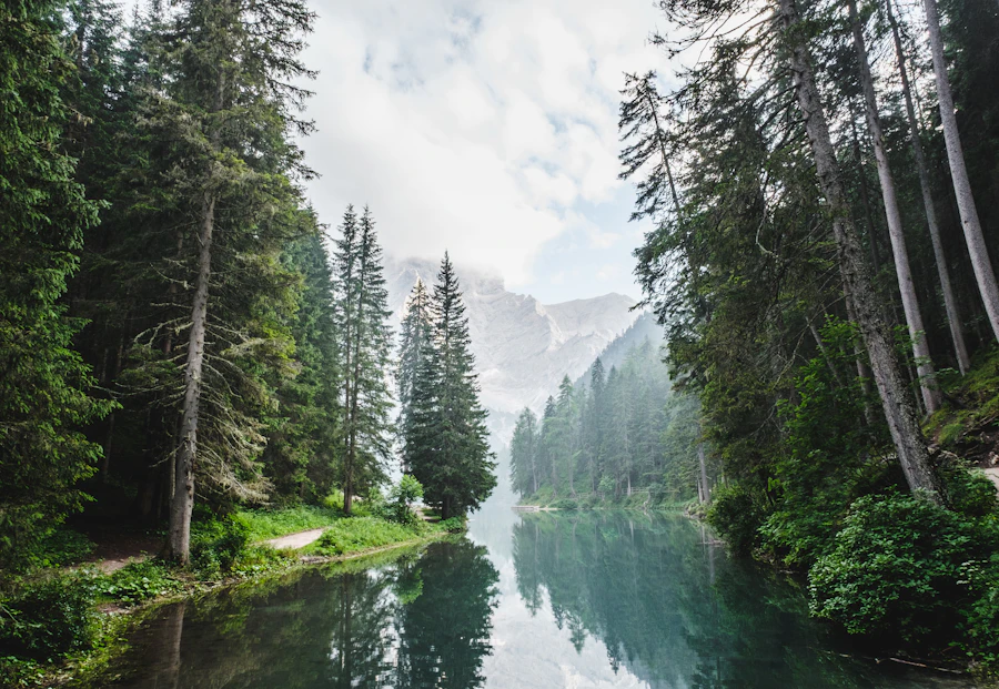
Northern forest surrounding a remote Maine river corridor
Township · Ecology and recreation

T6 R7 WELS

A remote township shaped by the Seboeis River, Grand Lake Road, Sawtelle Brook, and a trail leading toward Grand Pitch.

This township is home to the Seboeis River canoe-trip put-in on Grand Lake Road. The 24-mile route begins at a parking and picnic area near the bridge, where Sawtelle Brook—the outlet of Sawtelle Deadwater in the township’s northwest—joins the Seboeis.

Seasonal context: The canoe trip is generally most successful during spring high water. Conditions photographed in August showed comparatively low water.

River access and setting

The put-in is near 46° 8′ 37.07″ N, 68° 38′ 0.19″ W. The bridge and nearby clearing provide a recognizable starting point for paddlers entering this remote river corridor.

The trail to Grand Pitch

The Seboeis River Trail begins on the south side of Grand Lake Road near the bridge. A hike of about one mile leads toward Grand Pitch on the Seboeis, which also serves as a portage site for canoeists.

This Grand Pitch should not be confused with the East Branch of the Penobscot River’s Grand Pitch, a 21-foot waterfall in T5 R8 WELS.

Water monitoring

A U.S. Geological Survey monitoring sensor is positioned above the bridge. The installation is used to observe river conditions such as flow and water height, useful measures in a waterway where paddling conditions change substantially by season.

Before heading out

A practical planning sequence

Remote waterways and trails require preparation. Conditions may differ from the descriptions and representative images in this reference entry.

1

Check conditions

Review recent water levels and weather before deciding whether to paddle or hike.

2

Confirm the route

Carry suitable maps and identify the bridge, put-in, trail, and portage points.

3

Prepare for remoteness

Bring appropriate equipment, water, layers, and a plan for limited services.

4

Protect the corridor

Pack out waste and minimize disturbance along the river and trail.

A–Z index

Continue exploring

Browse other Maine places, waterways, natural features, and subjects alphabetically.

FAQ

Understanding T6 R7 WELS

Quick answers about the township’s river access, trail, and seasonal conditions.

What does this entry focus on?

It focuses on the Seboeis River access at Grand Lake Road, the nearby canoe put-in, Sawtelle Brook, the trail to Grand Pitch, and river monitoring near the bridge.

How long is the canoe trip described here?

The route is described as approximately 24 miles, beginning near the bridge and parking area on Grand Lake Road.

When are paddling conditions usually best?

Spring high water generally provides more favorable paddling conditions. Water levels vary, so current conditions should always be checked.

Where does the Seboeis River Trail begin?

The trail begins on the south side of Grand Lake Road near the bridge over the Seboeis River.

How far is Grand Pitch from the road?

The source description places Grand Pitch about a one-mile hike from the road along the Seboeis River Trail.

Is this the same Grand Pitch found on the East Branch?

No. Grand Pitch on the Seboeis is distinct from the 21-foot waterfall on the East Branch of the Penobscot River in T5 R8 WELS.

↑ Top